

Archived Project
The Value of Geologic Mapping, 2018
A project focused on increasing the awareness of the importance and value of geologic mapping through the development of outreach materials and research into how geologic maps are used in decision making to address societal issues.
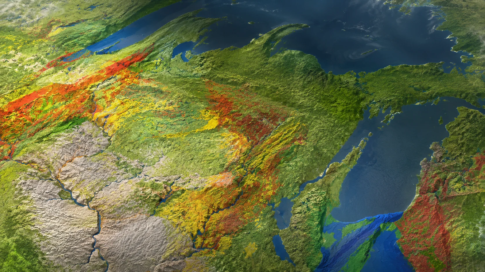
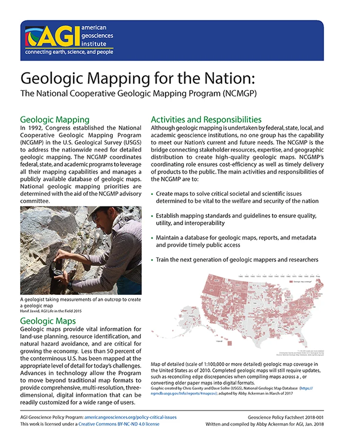
Geologic maps provide vital information for land-use planning, resource identification, and natural hazard avoidance, and are critical for growing the economy. Less than 50 percent of the conterminous U.S. has been mapped at the appropriate level of detail for today’s challenges. Advances in technology have moved beyond traditional map formats to provide comprehensive, multi-resolution, three-dimensional, digital information that can be readily customized for a wide range of users.
This project aims to increase the awareness of the importance and value of geologic mapping through the development of outreach materials and research into how geologic maps are used in decision making to address societal issues.
Webinar Series
Geologic Mapping to Empower Communities: Examples from the Great Lakes
Less than one-third of the U.S. is mapped at the level of detail necessary to make informed planning decisions on a local scale concerning natural resources, natural hazards, infrastructure planning, and environmental stewardship. In the Great Lakes region, the Great Lakes Geologic Mapping Coalition (GLGMC), a group including U.S. and Canadian state and provincial geological surveys, is producing detailed 3D geologic maps that are helping to provide decision-relevant information to Great Lakes state communities. Due to similar regional geology, these state surveys can work together, sharing their expertise and resources so that each can better address geologic issues in their area. Working with the communities, the GLGMC provides and makes maps that solve problems such as groundwater contamination and resource development.
This webinar will introduce geologic mapping in the Great Lakes region, showcase projects from the Great Lakes Geologic Mapping Coalition, and review planning decisions made based on their work. Speakers from the Illinois, Minnesota, and Michigan State Geological Surveys will discuss case studies of recent and ongoing projects in their states where geologic maps inform major decisions and empower communities to protect their people, resources, and economies.
This webinar is co-sponsored by the American Association of State Geologists, Association of Engineering and Environmental Geologists, American Institute of Professional Geologists, Environmental and Engineering Geophysical Society, Geological Society of America, National Association of State Boards of Geology, Society for Sedimentary Geology, and the Society of Exploration Geophysicists’ International Exposition and 88th Annual Meeting in Anaheim.
Presentations
Geological Mapping: What It Is, Who Does It, and Why We Do It
Richard C. Berg, Director, Illinois State Geological Survey
Status of geological mapping needed for groundwater protection in Minnesota
Harvey Thorleifson, Director, Minnesota Geological Survey
3-D Geologic Mapping for Water Resource Planning in McHenry County, Illinois
Jason Thomason, Associate Hydrogeologist and Section Head; Hydrogeology and Geophysics, Illinois State Geological Survey
Michigan Mapping Products for the 21st Century
John Yellich, Director, Michigan Geological Survey at Western Michigan University
Case Studies and Factsheets
Geologic Mapping for the Nation
The National Cooperative Geologic Mapping Program (NCGMP) coordinates Federal, State, and academic programs to provide detailed geologic maps for land-use planning, resource identification, and natural hazard avoidance. The program has three components: FEDMAP, STATEMAP, and EDMAP, which work together to create high-quality geologic maps and train the next generation of geologic mappers. NCGMP's goal is to address the nationwide need for detailed geologic mapping and provide comprehensive, multi-resolution, three-dimensional digital information.
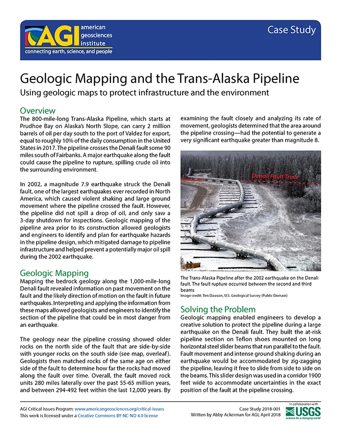
Geologic Mapping and the Trans-Alaska Pipeline
The Trans-Alaska Pipeline was designed with geologic mapping in mind to mitigate earthquake damage, as it crosses the Denali fault where a major earthquake could cause pipeline rupture and oil spills. Geologists mapped the area prior to construction, identifying potential hazards and designing a slider system that allows the pipeline to slide on steel beams during an earthquake, preventing damage and spills. The 2002 magnitude 7.9 earthquake on the Denali fault tested this design, with the pipeline surviving minor damage despite intense ground shaking.
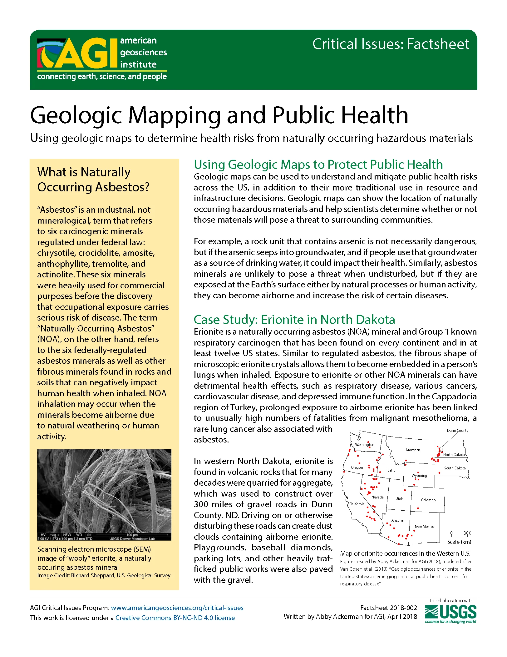
Geologic Mapping and Public Health
Geologic maps can be used to identify naturally occurring hazardous materials such as radon and asbestos, which can pose health risks to surrounding communities. The USGS has been working with the North Dakota Geological Survey to map erionite, a type of naturally occurring asbestos that was found in aggregate used for road construction, leading to increased awareness and precautions being taken to protect public health. By mapping these hazards, geologists can help decision-makers determine areas at risk and inform protocols for protecting residents.
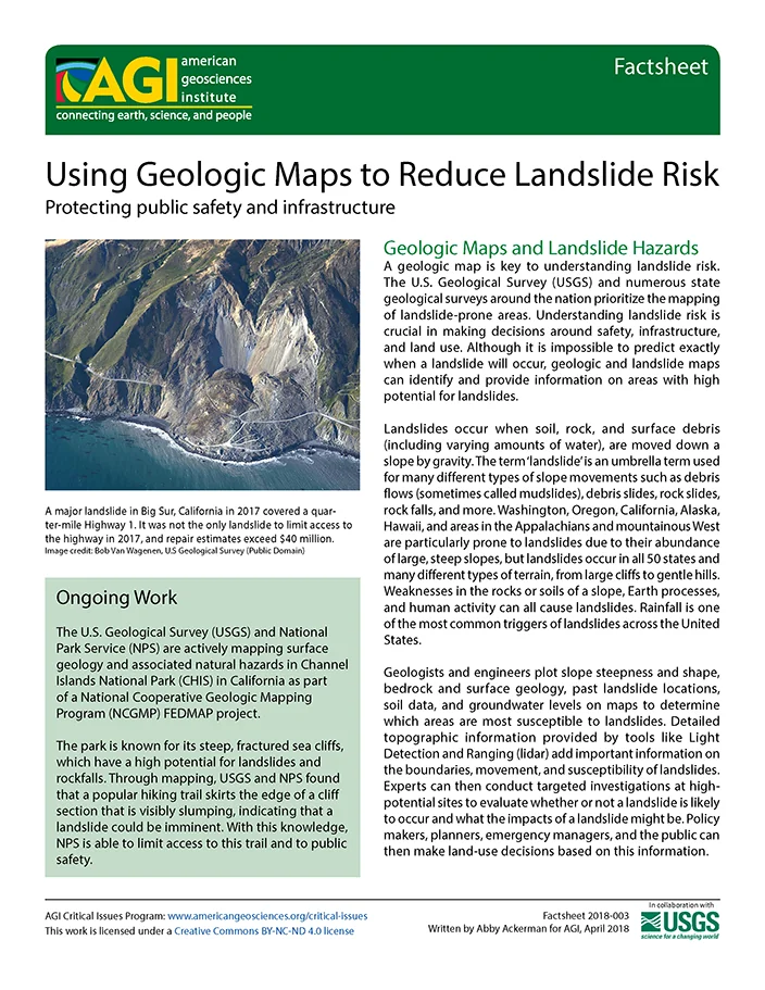
Using Geologic Maps to Reduce Landslide Risk
Geologic maps are crucial in understanding landslide risk and can help make decisions on safety, infrastructure, and land use. Landslides occur when soil, rock, and surface debris are moved down a slope by gravity, and geologists plot various factors to determine areas most susceptible to landslides. Mapping major landslides and using this information can inform evacuation plans, reduce risk to lives and property, and improve public safety.
Additional Resources
Explore the Case Studies in the Meeting Challenges with Geologic Maps (2004) book which is part of AGI’s Environmental Awareness Series. The list of case studies show how geologic maps are helping to delineate fragile habitat and ecosystems, protect agains natural hazards, and find needed resources.