

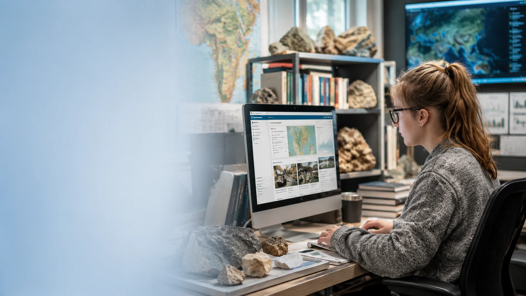
Browse Resources
Browse the Geoscience Profession ecosystem of resources.
Search across tools, data, collections, and key resources related to the geoscience profession and higher education.
Browse All Resources
Search for tools, data, collections and key resources.
Showing 1-10 of 520 results
| Resource | Type | Audiences | Action |
|---|---|---|---|
| Geologic map aids mitigation of earthquake damage in Alaska On November 3, 2002, the 800-mile long Trans-Alaska Pipeline pipeline was able to withstand the largest recorded earthquake for the Denali fault without spilling a drop of oil and with only 3 days shutdown time for inspections. The survival of the pipeline demonstrates the value of combining careful geologic studies of earthquake hazards and creative engineering design. | Publication |
Students & Early Career
Faculty & Departments
Policy & Decision Makers
|
|
| Geologic map delineates landslide hazards in Kansas Landslide hazard maps based on geologic maps are a tool for local government officials, planners, developers, engineers, insurance companies, lending institutions, and landowners to assess the risk and take appropriate actions. | Publication |
Students & Early Career
Faculty & Departments
Policy & Decision Makers
|
|
| Geologic map depicts sinkhole susceptibility in Maryland Although sinkhole development in susceptible areas cannot be completely prevented, policy makers and the public can use geologic maps that delineate karst features to develop strategies that can minimize or avoid property damage and personal injuries. | Publication |
Students & Early Career
Faculty & Departments
Policy & Decision Makers
|
|
| Geologic map guides earthquake damage prediction in New Jersey Geologic mapping provides the data foundation that makes soil mapping and earthquake simulations possible. This approach also can be used to predict damage in areas where the historical record indicates a risk of potential earthquakes. | Publication |
Students & Early Career
Faculty & Departments
Policy & Decision Makers
|
|
| Geologic map guides transportation planning in North Dakota Geologic maps can help to show which areas may be more prone to landslides and therefore directly assist in making optimum engineering design choices. | Publication |
Students & Early Career
Faculty & Departments
Policy & Decision Makers
|
|
| Geologic map helps to protect groundwater in Alabama In central Alabama, the Mississippian-age Fort Payne Chert is an important aquifer for domestic and municipal water supplies. Geologic mapping shows the extent of Fort Payne Chert exposure at the ground surface, which is the recharge area for the aquifer. Planning for protection of the groundwater recharge from pollution requires information about the precise location of the chert at the land surface. Information from the geologic map enables careful planning for land uses that will protect critical aquifer recharge areas and avoid pollution of groundwater resources. | Publication |
Students & Early Career
Faculty & Departments
Policy & Decision Makers
|
|
| Geologic maps and cave resources in Kentucky Geologic maps are being used in Kentucky to identify areas that have high potential for development of karst features, such as sinkholes and caves. | Publication |
Students & Early Career
Faculty & Departments
Policy & Decision Makers
|
|
| Geologic maps and mineral resources in Nevada Geologic maps have provided the key to finding new gold deposits in Nevada. | Publication |
Students & Early Career
Faculty & Departments
Policy & Decision Makers
|
|
| Geologic maps delineate sand and gravel resources in Colorado In Garfield County, an area of multiple land uses, geologic maps show the location and quality of the sand and gravel resources. Planners, citizens, and resource developers use this information to locate and evaluate potential deposits and make informed land-use choices. | Publication |
Students & Early Career
Faculty & Departments
Policy & Decision Makers
|
|
| Geologic maps identify coal resources and past mining in Pennsylvania Geologic maps provide critical information for coal resource exploration and for planners, regulators, decision makers, and the general public. | Publication |
Students & Early Career
Faculty & Departments
Policy & Decision Makers
|