Geoscience FAQ
Where can I find flood maps for my area?
Information preserved from American Geosciences Institute.
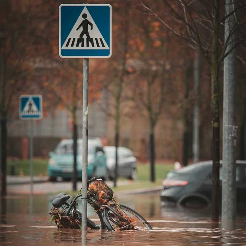
There are different types of flood maps available.
Flood Risk Maps: The Federal Emergency Management Agency (FEMA) studies flood risk and publishes maps for each community in the United States. These risk maps show the long-term risk of flooding occurring.
Real-time Flood Information: The U.S. Geological Survey (USGS) monitors real-time flooding conditions as they are occurring, while the National Weather Service (NWS) forecasts river flooding.
Learn More
- FEMA's Flood Map Service Center (Interactive Map), FEMA
Find and download a flood map for your area that shows long-term risk of flooding.
- Current Flood Information (WaterWatch) (Interactive Map), U.S. Geological Survey
Map of rivers that are currently flooding across the United States.
- National Flood Insurance Program (Webpage), FEMA
Overview of the National Flood Insurance Program, with resources for property owners, decision makers, insurance professionals, surveyors, and more
- River Flooding Forecast (Interactive Map), National Weather Service
Shows the short-term chance of flooding for streams across the United States.
- Historical Flooding (Website), U.S. Geological Survey
Data and information on past floods in the United States from 2011-2018.
- Assessing, Mitigating, and Communicating Flood Risk (Webinar), American Geosciences Institute
2017 webinar on flood risk assessment, mitigation, and communication efforts in the U.S. from national to state and local levels - includes many additional resources on flood risk in your area
Explore Related FAQs
Can floods be predicted?
U.S. Geological Survey
Open FAQDoes flood risk for a particular location change over time?
Federal Emergency Management Agency
Open FAQHow do changes in land use impact water resources?
American Geosciences Institute
Open FAQWhat are the effects of contaminants on water quality?
American Geosciences Institute
Open FAQWhat is Lidar and what is it used for?
National Oceanic and Atmospheric Administration
Open FAQWhat is the evidence that our present-day climate is changing?
American Geosciences Institute
Open FAQExplore Geoscience Intersections
Browse related geoscience intersections pages connected to the topics covered in this FAQ.