

Intersection Topic
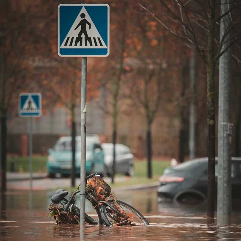
Floods
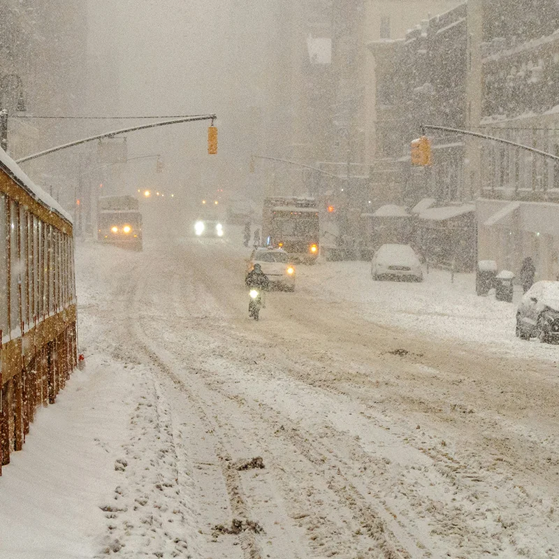
Flooding is the most common and costliest natural hazard facing the United States. Each year, flooding causes billions of dollars in damages and dozens of deaths nationwide.
The Basics
Flooding has many causes, including heavy rain, snow melting too fast, and dams or levees breaking. Coastal flooding occurs during hurricanes from heavy rainfall and storm surge, which causes sea level to rise temporarily at the shore.
Why do floods matter?
Flooding is the most common, and costliest, natural hazard facing the United States. The National Weather Service published reports on flood damages and deaths until 2014. From 1984 to 2014 floods caused an average of $8 billion in damages and 82 deaths per year nationwide.[1]
How does geoscience help inform decisions about flood hazards?
Geoscientists study water and fluid flow, monitor streamflow, and map out past flooding events and likely inundation zones to understand how and where flooding occurs and inform the public about flood risk. They also design structures to reduce flooding impacts and inform land-use managers and policy makers to establish best practices for flood management.
References
[1] Storm Events Database, National Centers for Environmental Information, https://www.ncei.noaa.gov/stormevents/
Learn More
Introductory Resources
-
Severe Weather 101: Flood Basics, National Severe Storms Laboratory NOAA
Answers to basic questions about flood hazards, areas that are most at risk for flooding, and definitions of flood watches, warnings, advisories, statements. -
Ready.gov - Floods, FEMA
Short article on flood hazards, what to do before/during/after flooding, flood insurance, and links to tools/resources on spring flooding. -
Assessing, Mitigating, and Communicating Flood Risk, American Geosciences Institute
2017 Webinar on flood risk assessment, mitigation, and communication efforts in the U.S. from national to state and local levels - includes many additional resources on flood risk in your area.
Resources for Educators
-
Education GeoSource Network (EGS), AGI
Search for flood resources related to professional resources, curricula & instruction, teaching media, outreach programs, and other EGS collections. -
NGSS Performance Expectations, Next Generation Science Standards
K-ESS3-2, 3-ESS3-1, 4-ESS3-2, MS-ESS3-2, HS-ESS3-1 -
NGSS Disciplinary Core Ideas, Next Generation Science Standards
ESS3.B
Additional Resources
Geoscience in Society Webinars
See how geoscience informs our understanding of societal issues.
Watch webinarsPolicy Resources
Search related case studies, factsheets and other policy resources.
Browse policy resourcesFAQs
Browse frequently asked questions related to the intersection of geoscience and society.
Browse FAQsEARTH Magazine
Browse related articles from EARTH magazine.
Browse EARTH MagazineEnvironmental Awareness Series
Read our reports showcasing how geoscience is used to address societal concerns.
Browse reportsExplore Related Topics
Climate Change
Climate has an enormous impact on society, with wide-ranging effects on public safety and health, the economy, transportation, infrastructure, and agriculture. Geoscientists investigate our climate’s past and present to better understand how it may change in the future.
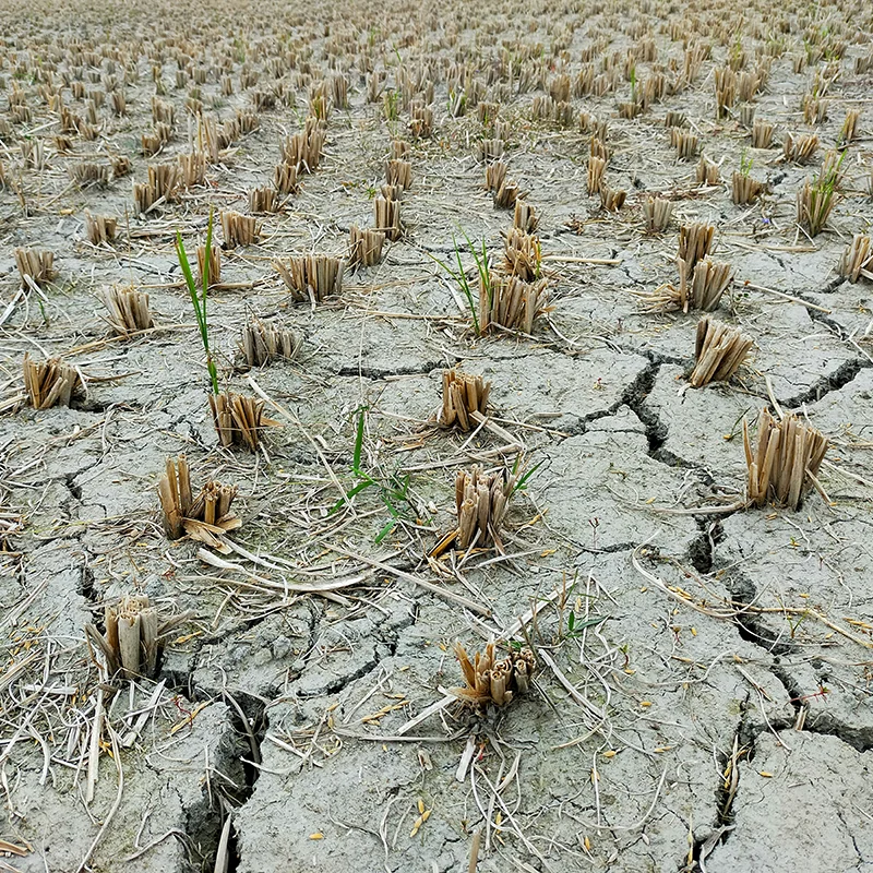
Drought
Since 1980 the United States has experienced more than 24 major droughts, resulting in almost 3,000 deaths and economic impacts exceeding $225 billion.All areas of the U.S. have some drought risk.
Hazards
Natural hazards such as earthquakes, landslides, hurricanes, floods, and wildfires endanger public health and safety, threaten critical infrastructure, and cost our economy billions of dollars each year. Geoscientists study these hazards to provide information and warnings to populations at risk.
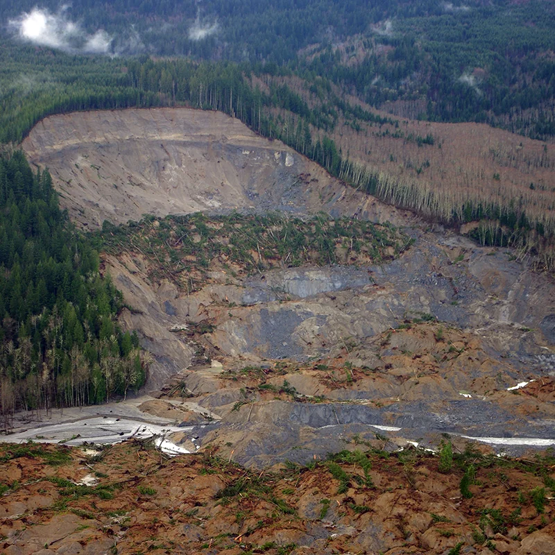
Landslides
Landslides affect all 50 states and U.S. territories, where they cause 25 to 50 deaths and more than $1 billion in damages each year. Geoscientists study and monitor landslides to identify at-risk areas, prepare populations, and improve our understanding of why, when, and where landslides happen.
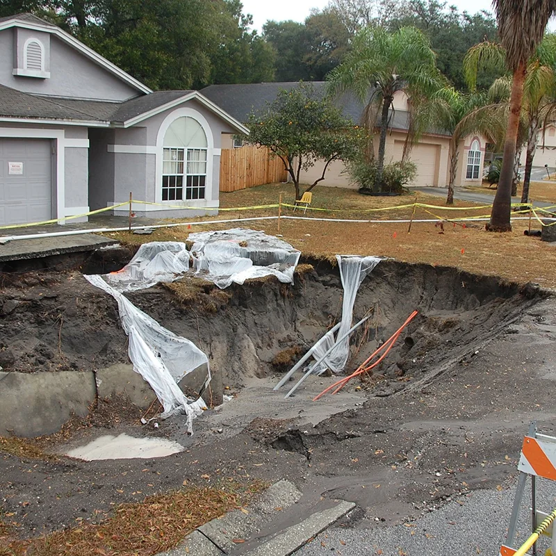
Sinkholes
Sinkholes have both natural and artificial causes. They tend to occur most often in places where water can dissolve the bedrock (especially limestone) below the surface, causing overlying rocks to collapse. Florida, Texas, Alabama, Missouri, Kentucky, Tennessee, and Pennsylvania are most sinkhole-prone.
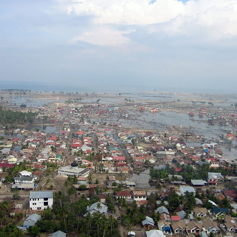
Tsunamis
Tsunamis are destructive waves caused by sudden displacement of ocean water. Tsunamis most often appear on shore as a rapidly receding tide or rapidly rising flood. In the United States, the Pacific coastal states – Oregon, Washington, California, Alaska, and Hawaii – are at greatest risk for destructive tsunamis.
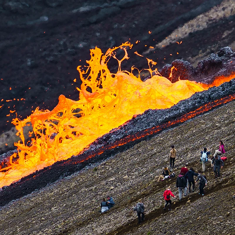
Volcanoes
Volcanoes pose many hazards to their surroundings, from ashfall, mudflows, lava flows, landslides, and associated earthquakes. At least 54 of the United States’ 169 active volcanoes pose major threats to public health and safety and to major industries such as agriculture, aviation, and transportation.
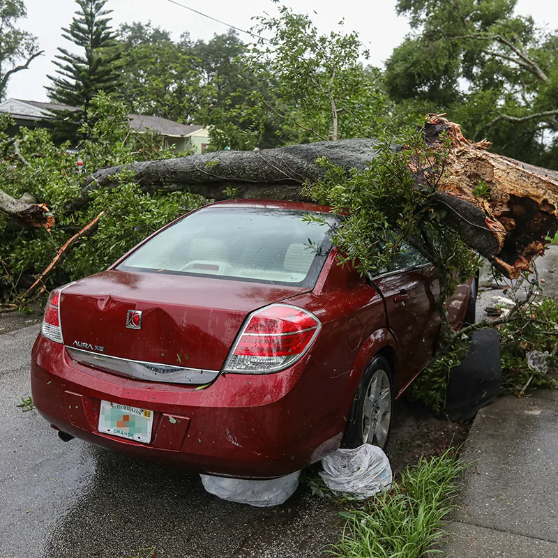
Weather Hazards
Weather hazards impact the entire country, with enormous effects on the economy and public safety. Since 1980, weather/climate disasters have cost the U.S. economy more than $2.9 trillion. In an average year, the United States will be affected by nine billion-dollar weather/climate disasters, but this number has increased in recent years: from 2020-2024 the average was 23 events.
Wildfires
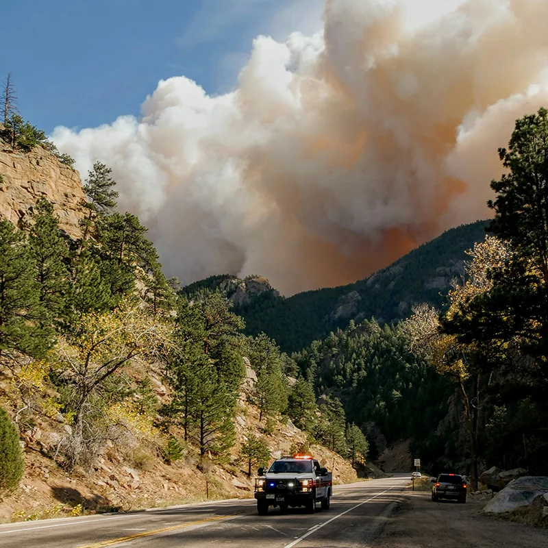
Wildfires are causing more frequent and wider-ranging societal impacts, especially as residential communities continue to expand into wildland areas. Since 2000, there have been twelve wildfires in the United States that have each caused damages exceeding $1 billion; cumulatively, these twelve wildfires have caused a total of $44 billion in damages.