Geoscience FAQ
How does 3D geologic mapping benefit society?
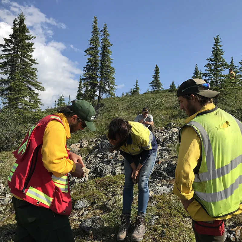
Information preserved from Alberta Geological Survey.
Alberta Energy Regulator / Alberta Geological Survey:
The combination of technological advances in modelling, visualization, data collection and storage, and computing power has provided the tools to propel 2D geologic mapping into 3D and 4D space. Geological surveys around the world focus on comprehensive geologic mapping, based on a foundational understanding of geologic history, processes, and architectural framework, to support societal needs related to resource management (i.e., energy, water, minerals), public health and safety, natural heritage, and issues related to natural hazards and infrastructure design and maintenance. A recent report published by the Alberta Geological Survey discusses the current state of 3D geological mapping at geological surveys around the world and provides an extensive set of case studies exploring the benefits to society of 3D geologic mapping projects.1 The report states the following societal benefits from geologic mapping1:
"In the field of energy, fossil fuel assessment and related topics such as produced water disposal relies on sedimentary basin models, while geothermal potential is rapidly emerging as another energy discipline that benefits from 3D geology. Mineral resource assessment in most cases focuses on hard rock geology in which 3D work emphasizes structures rather than strata, although enhanced 3D information such as depth to bedrock and depth to basement supports assessments, and mapping of stratified rocks is fundamental in the field of industrial minerals, as well as in all site planning for mines. In the field of water resources, groundwater capacity and vulnerability remains a topic of increasing importance that relies heavily on 3D geological mapping, to depict aquifers and their properties, and enclosing strata that govern recharge and protection. In the broad field of hazards, modelling of earthquake propagation is one example of an activity that requires comprehensive 3D geological mapping. All civil engineering takes into account the geological substrate, and linear developments such as transportation and communication infrastructure particularly benefit from comprehensive and consistent geological mapping of ground conditions."
References
1 MacCormack, K.E., Berg, R.C., Kessler, H., Russell, H.A.J. and Thorleifson, L.H. (ed.) (2019): 2019 synopsis of current three-dimensional geological mapping and modelling in geological survey organizations; Alberta Energy Regulator / Alberta Geological Survey, AER/AGS Special Report 112, 307 p. https://ags.aer.ca/publications/SPE_112.html
Learn more
- 2019 Synopsis of Three-dimensional Geological Mapping and Modelling at Geological Survey Organizations, Alberta Energy Regulator / Alberta Geological Survey, AER/AGS Special Report 112
- National Cooperative Geologic Mapping Program
- Geologic Mapping to Empower Communities: Examples from the Great Lakes, AGI Webinar
- Geologic Mapping and Public Health, AGI Factsheet
- Geologic Mapping and the Trans-Alaska Pipeline, AGI Factsheet
- Using Geologic Maps to Reduce Landslide Risk, AGI Factsheet
Explore Related FAQs
Can droughts be predicted?
American Geosciences Institute
Open FAQCan earthquakes be predicted?
U.S. Geological Survey
Open FAQCan floods be predicted?
U.S. Geological Survey
Open FAQCan major landslides and debris flows happen in all areas of the U.S.?
U.S. Geological Survey
Open FAQCan volcanoes be dangerous even when they don't erupt?
U.S. Geological Survey
Open FAQDoes flood risk for a particular location change over time?
Federal Emergency Management Agency
Open FAQDoes hydraulic fracturing cause earthquakes?
U.S. Geological Survey
Open FAQHow are tsunami early warnings issued?
American Geosciences Institute
Open FAQHow do pyrite and pyrrhotite damage building foundations?
American Geosciences Institute
Open FAQHow do you forecast tornadoes?
National Oceanic and Atmospheric Administration
Open FAQHow does recycling save energy?
American Geosciences Institute
Open FAQHow does the damage from hurricanes compare to that of tornadoes?
National Oceanic and Atmospheric Administration
Open FAQHow long does it take for a sinkhole to stop growing?
Florida Geological Survey
Open FAQHow many active volcanoes are there in the United States?
U.S. Geological Survey
Open FAQHow many tornadoes have there been in my state or county?
National Oceanic and Atmospheric Administration
Open FAQHow might global warming change hurricane intensity, frequency, and rainfall?
National Oceanic and Atmospheric Administration
Open FAQHow much do landslides cost the U.S. in terms of monetary losses?
American Geosciences Institute
Open FAQWhat are the different types of landslide hazard maps? What do they mean?
U.S. Geological Survey
Open FAQWhat are the natural warning signs for a tsunami?
National Oceanic and Atmospheric Administration
Open FAQWhat are underground injection wells used for?
American Geosciences Institute
Open FAQWhat is Lidar and what is it used for?
National Oceanic and Atmospheric Administration
Open FAQWhat is the probability that an earthquake is a foreshock to a larger earthquake?
U.S. Geological Survey
Open FAQWhat kinds of hazards are associated with volcanic eruptions?
American Geosciences Institute
Open FAQWhere can I find flood maps for my area?
American Geosciences Institute
Open FAQWhere can I find up-to-date information about drought conditions in my region?
National Integrated Drought Information System
Open FAQWhich areas are most at risk for sinkholes?
U.S. Geological Survey
Open FAQWhy and where do earthquakes happen?
American Geosciences Institute
Open FAQWhy doesn't a drought go away when it rains?
U.S. Geological Survey
Open FAQWhy is it important to monitor volcanoes?
U.S. Geological Survey
Open FAQWhy is monitoring volcanoes important to aviation?
U.S. Geological Survey
Open FAQExplore Geoscience Intersections
Browse related geoscience intersections pages connected to the topics covered in this FAQ.